Photo and artistic credits
Across the website, photo credits are now available directly on each topic page. As part of the NSW Environment Protection Authority's (EPA) ongoing commitment to Aboriginal peoples, from 2024, all image banners include acknowledging the traditional Country name.
The EPA acknowledges the contribution of many government employees who have willingly shared personal photos that capture various Country from across our diverse state.
See Figure A.1 for all photographs and artwork used in the 2024 report, as per their order in the Tabled Report.
Figure A.1: Photographs and artwork included in SoE 2024
| Location | Photo and artwork credit | Thumbnail |
|---|---|---|
| Homepage: | Tim Johnson/NPWS (2020). Sunset view at Mt Hay with grass trees (Xanthorrhoea) in the foreground. Blue Mountains National Park. Dharug. Staff contribution. Image copy on Tabled report cover has been lightened for printing purposes. | |
| Page banners (background) | Gerard Black (2024). Butjin Wanggal (Dilly bag dance). NSW EPA commissioned artwork. This altered version has been prepared specifically for this report. See Artwork on for learn more from the artist and artwork. | 
|
| Current & 2021 tab: Stuart Murphy (2020). Aerial view of Clarence floodplain backswamp showing kangaroo tracks. Clarence floodplain. Bundjalung. Special conditions apply to the use of this staff contributed image. 2018 tab: John Spencer/EPA (2017). Aerial view of paddocks adjacent to bush in the Narrabri area. Accessed from EPA Image Library. | 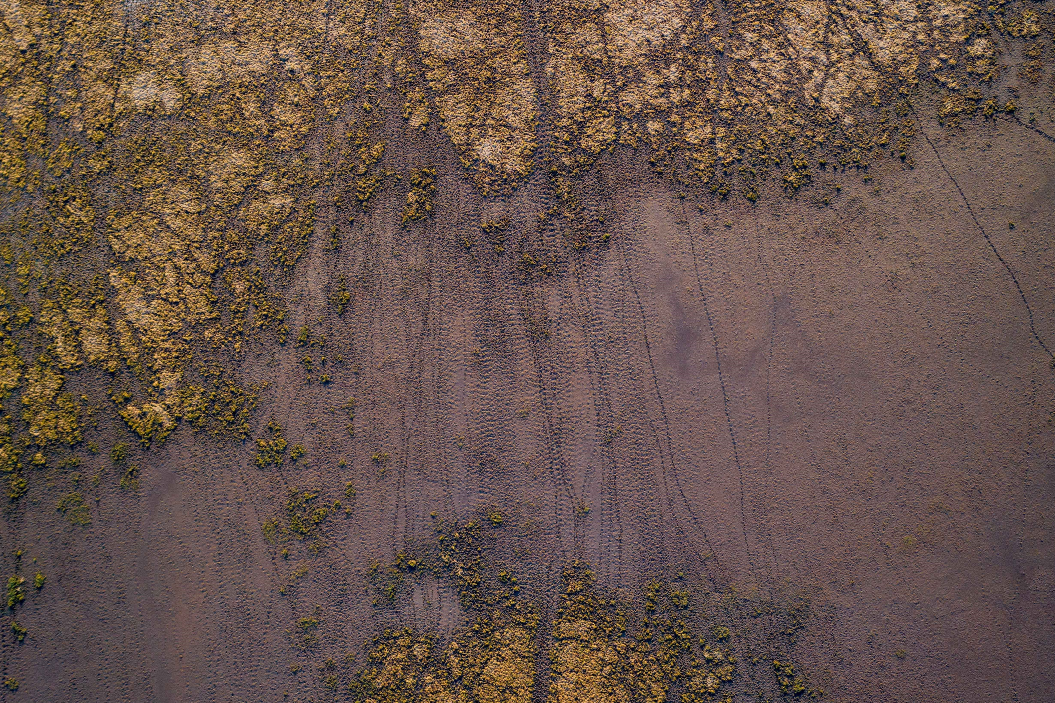
| |
| Current & 2024 tab: Hao Li/DCCEEW (n.d.). Mungo National Park. Paakantji, Ngyiampaa and Mutthi Mutthi lands. Supplied by NSW EPA. 2021 tab: Brian Rosenberg/DPIE (2017). Snow on Rams Head north. DPIE staff contribution. 2018 tab: John Spencer/OEH (2012). Honeysuckle Forest track, Barrington Tops National Park. Accessed from OEH Image Library. | 
| |
| Current & 2024 tab: John Spencer/DCCEEW (n.d.). Macquarie Marshes. Wailwan. This topic structure is new in 2024 – previously split between and and . See Previous topics below for further banner credits. | 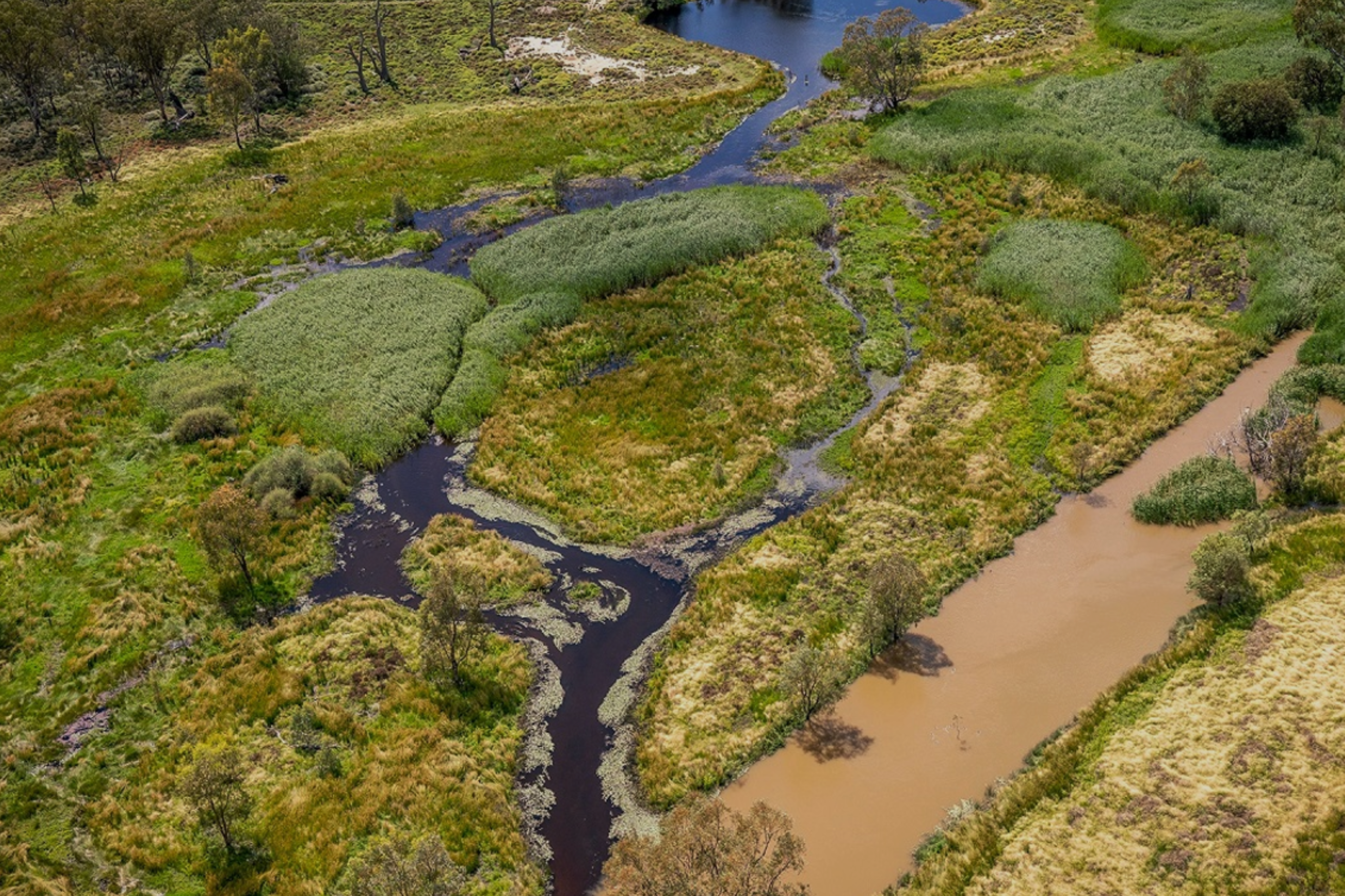
| |
| Current, 2024 & 2021 tabs: Water efficiency team/DPIE (2020). Aerial photo of artesian bore to be replaced and plugged under IGABDR program in 2021 south of Moree. Gamilaroi. DPIE staff contribution. 2018 tab: John Spencer/EPA (2017). Aerial view of dam irrigation storage ponds adjacent to ploughed land. Accessed from EPA Image Library. | 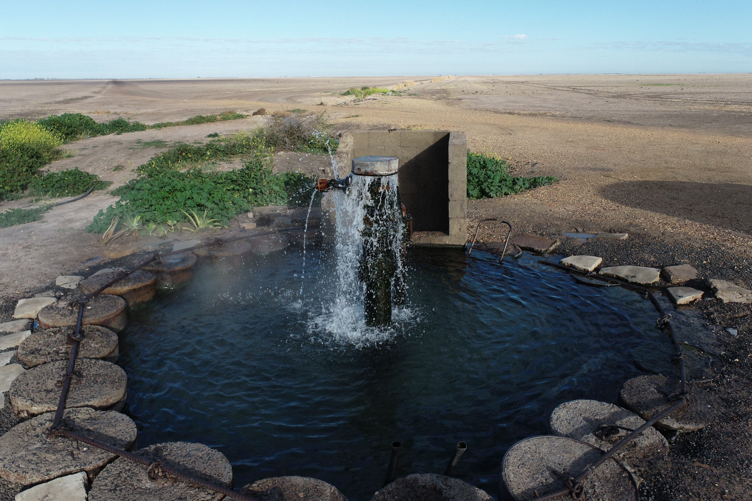
| |
| Current & 2024 tab: Silvan Bluett/DPIE (2021). Aerial image of coast meeting land at Turtle Row. Beecroft Peninsular. Yuin. 2021 tab: Stuart Murphy/EPA (undated). Beach aerial photo with boat floating in shallow water. Special conditions apply to the use of this staff contributed image. 2018 tab: John Spencer/OEH (2014). Dolphins surfing the ocean swell near Nadgee Nature Reserve. Accessed from OEH Image Library. | 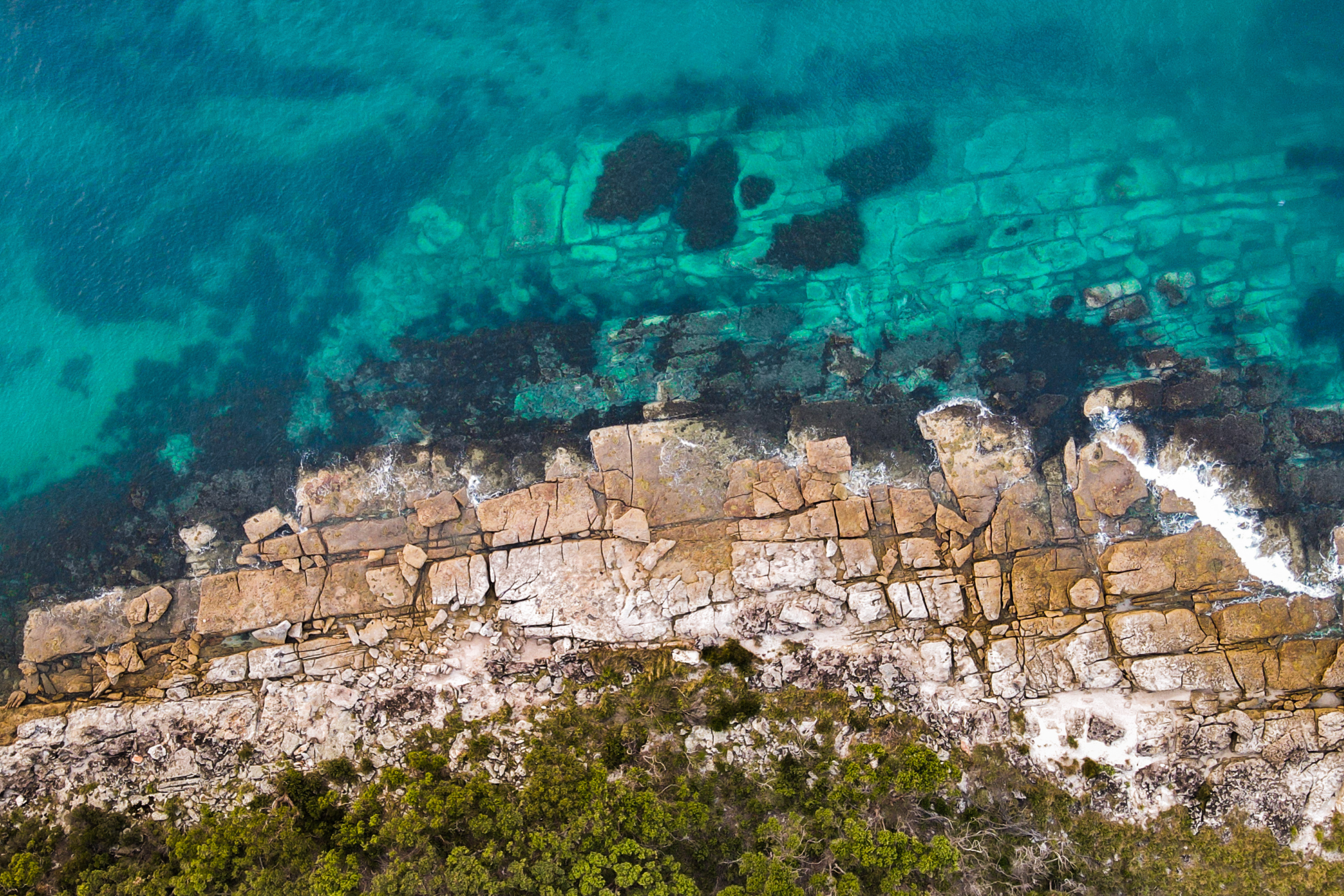
| |
| Current, 2024 & 2021 tabs: Brian Rosenberg/DPIE (2017). Grazing pastures in Millthorpe. Wiradjuri. DPIE staff contribution. 2018 tab: EPA (2018). View from a plane over Blue Mountains – smoke from hazard reduction burns. Accessed from EPA Image Library. | 
| |
| Current, 2024 & 2021 tabs: John Spencer/EPA (2016). Powerplant pictured across water. Muswellbrook. Wonnarua. Accessed from EPA Image Library. 2018 tab: John Spencer/EPA (2016). Smoke stacks and powerplant at Muswellbrook. Accessed from EPA Image Library. | 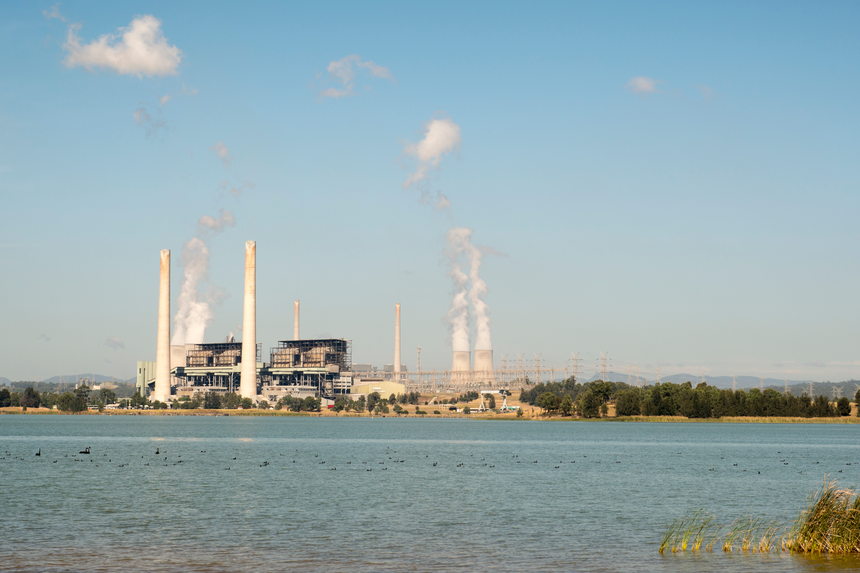
| |
| Current, 2024 tabs (and used in 2021 tab for topic) Genevieve Wright/DCCEEW (2020). Grass trees and Eucalypts re-sprout following the 2020 bushfires in Mt Imlay. Bidwell. DPIE staff contribution. This topic structure is new in 2024 – previously split between , and . See Previous topics for further banner credits. | 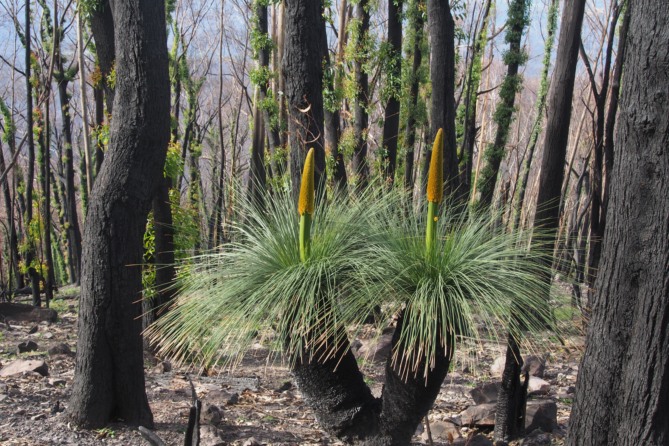
| |
| Current & 2024 tabs: Mick Bettanin/DPI (2021). New Holland honeyeater (Phylidonyris novaehollandiae) enjoying a rain shower. Aislings Beach, Eden. Yuin. Staff contribution. This topic structure is new in 2024 – previously split between , and . See Previous topics for further banner credits. | 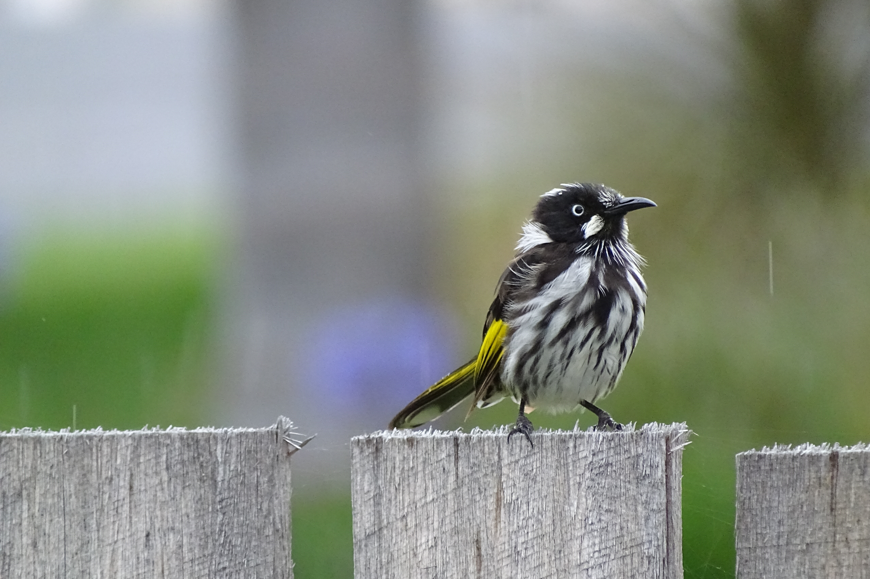
| |
| Current & 2024 tabs: Naomi Clare/DCCEEW (n.d.) Sunset view across Crowdy Bay National Park. Biripi. Supplied by NSW EPA. | 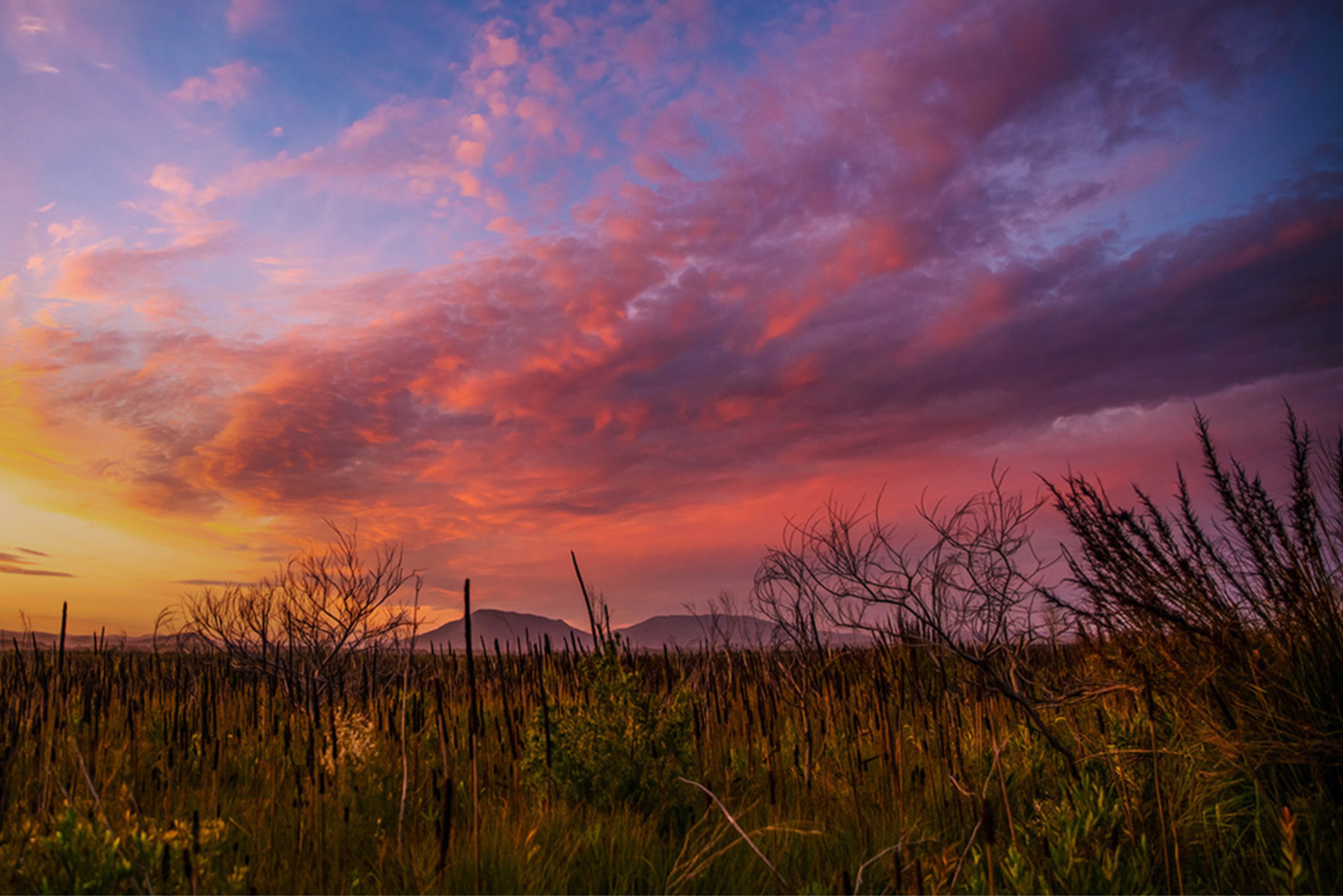
| |
| Current, 2024 & 2021 tabs: Victoria Seeck/EPA (2021). View of dry paddock with windmill and water tank, Hay. Wiradjuri. EPA staff contribution. 2018 tab: Michael Jarman/OEH (2009). Trees in bushfire at Murramarang National park. Accessed from OEH Image Library. | 
| |
| Current & 2024 tabs: Greg West/DPI (2021). Lightning at Port Stephens. Boat Harbour, Port Stephens. Worimi. Special conditions apply to the use of this staff contributed image. | 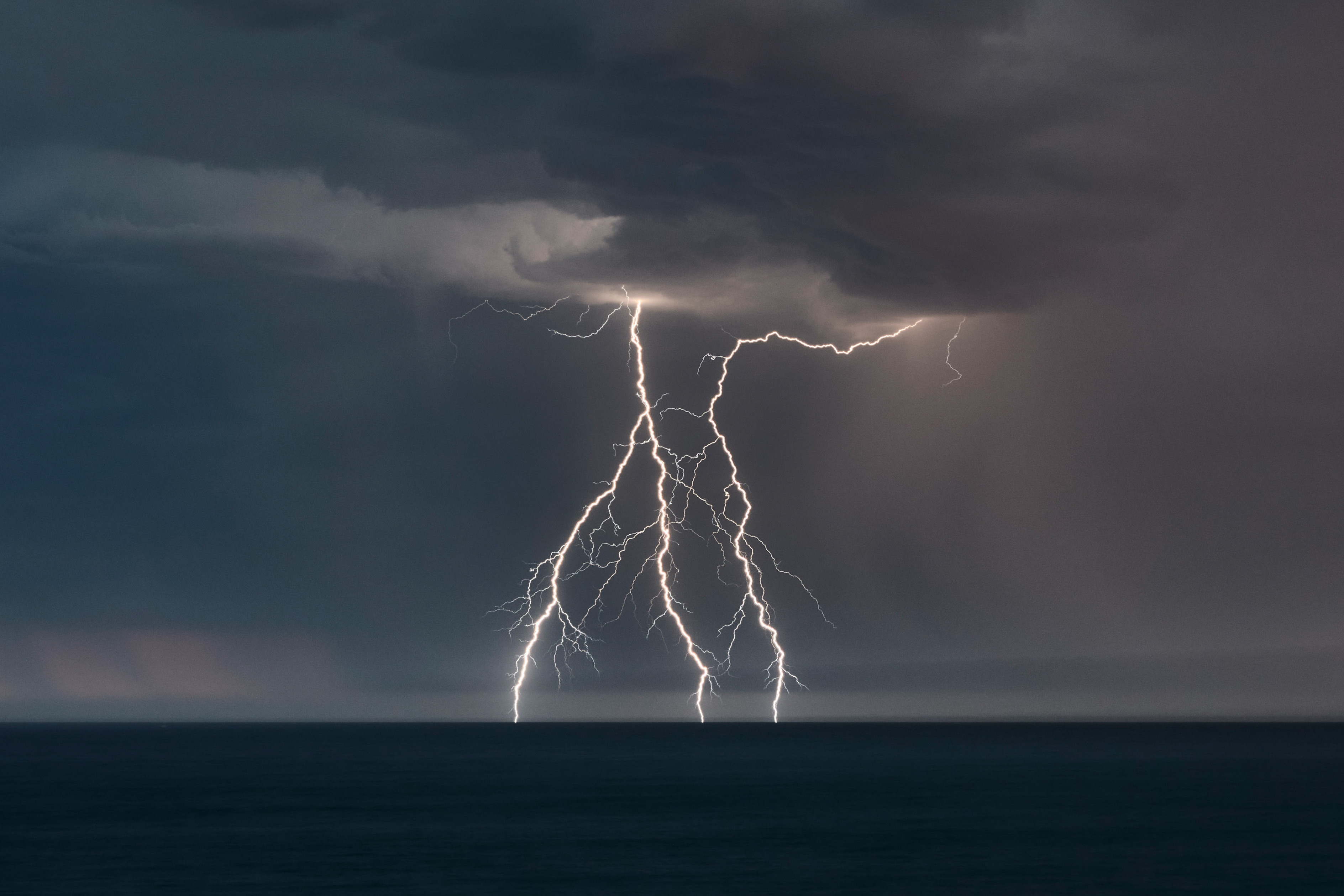
| |
| Current & 2024 tabs: Neil Fenelon/DPE (2015). View across solar farm with sun behind stormy clouds, Moree. Gamilaroi. Access from NSW Planning Image Library. 2021 tab: EPA (2018). View from a plane over Blue Mountains – smoke from hazard reduction burns. Accessed from EPA Image Library. | 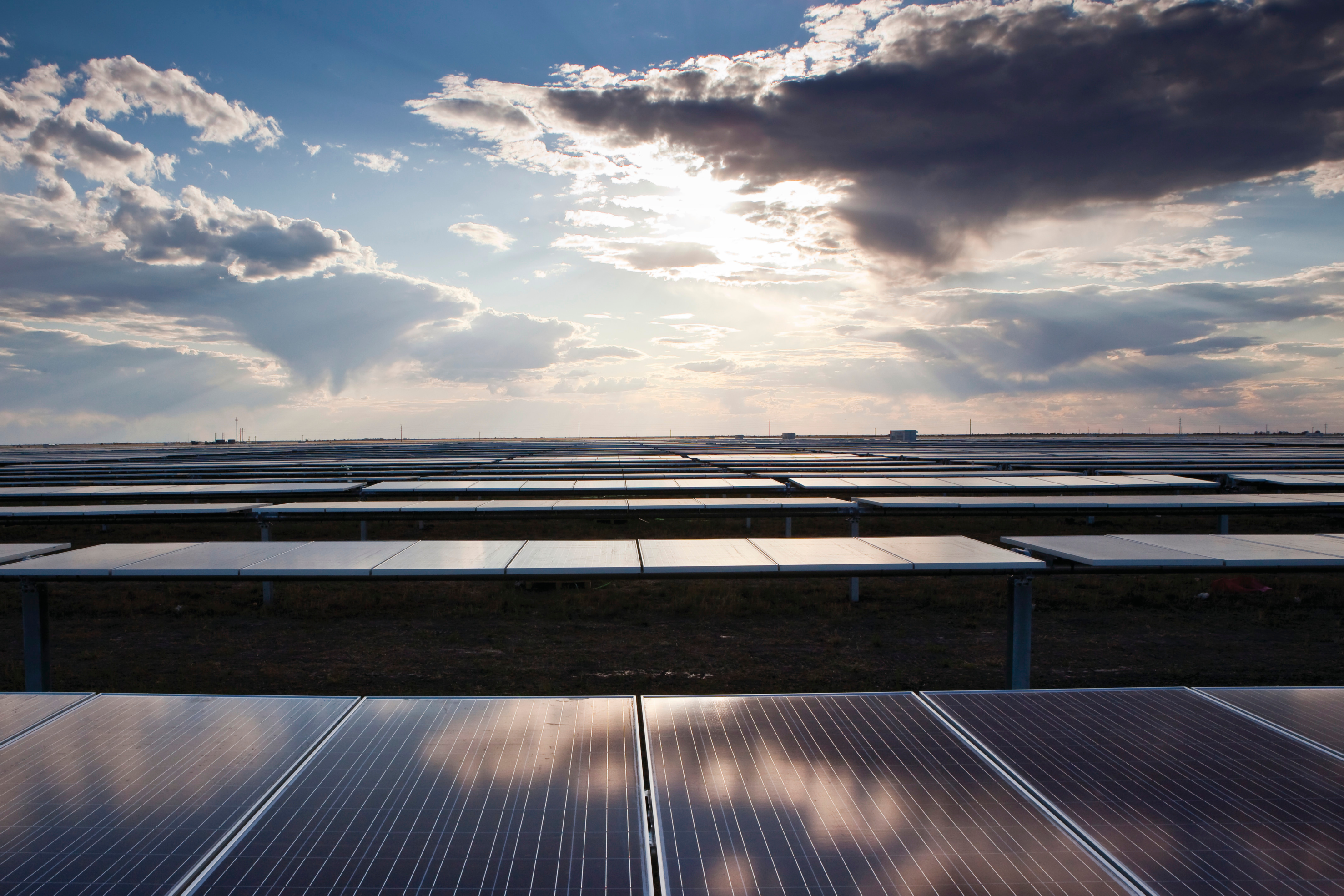
| |
| Current, 2024 & 2021 tabs: John Spencer/EPA (2016). Morning light on Newcastle Industry. Awabakal. Accessed from EPA Image Library. 2018 tab: Caz Nowaczyk/EPA (2017). Night time view across the Illawarra from Mount Keira, showing residential and industrial lights. Accessed from EPA Image Library. | 
| |
| Current, 2024 & 2021 tabs: John Spencer/EPA (2016). Cyclist walking over bridge with bike, Newcastle. Awabakal. Accessed from EPA Image Library. 2018 tab: John Spencer/EPA (2016). Cars, trucks and bus on four lane highway near Newcastle Port. Accessed from EPA Image Library. | 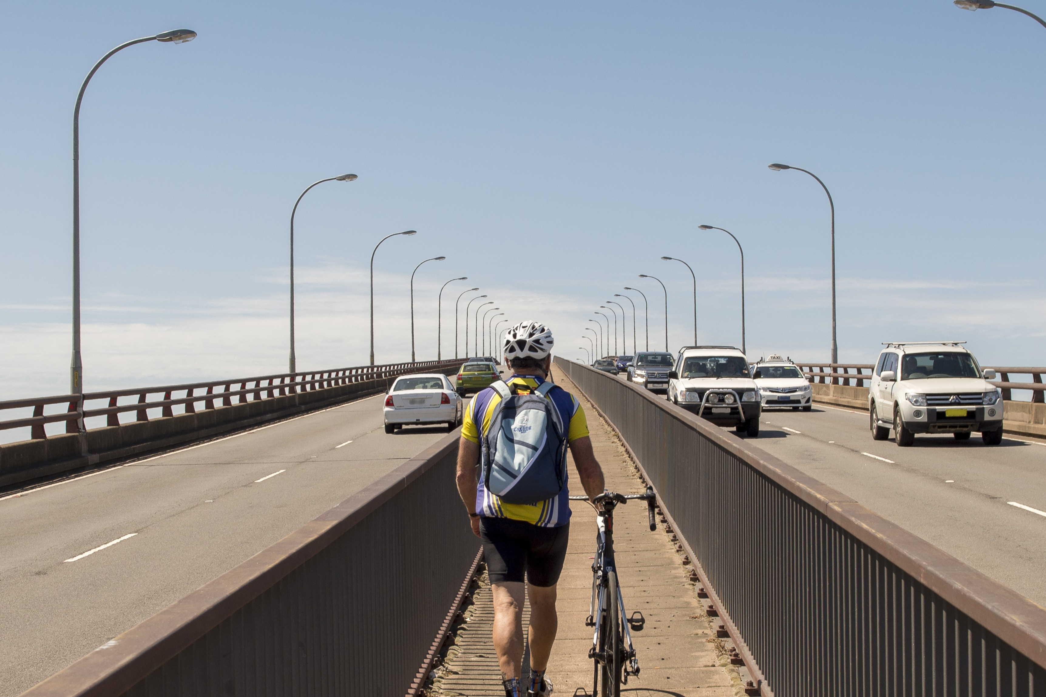
| |
| Current, 2024 & 2021 tabs: Martin Asmus/DPI (2020). Hay Weir, Murrumbidgee River. Nari Nari. DPI staff contribution. 2018 tab: Phil Molyneaux/EPA (undated). Bales of crushed steel cans at a waste recycling facility. Accessed from EPA Image Library. | 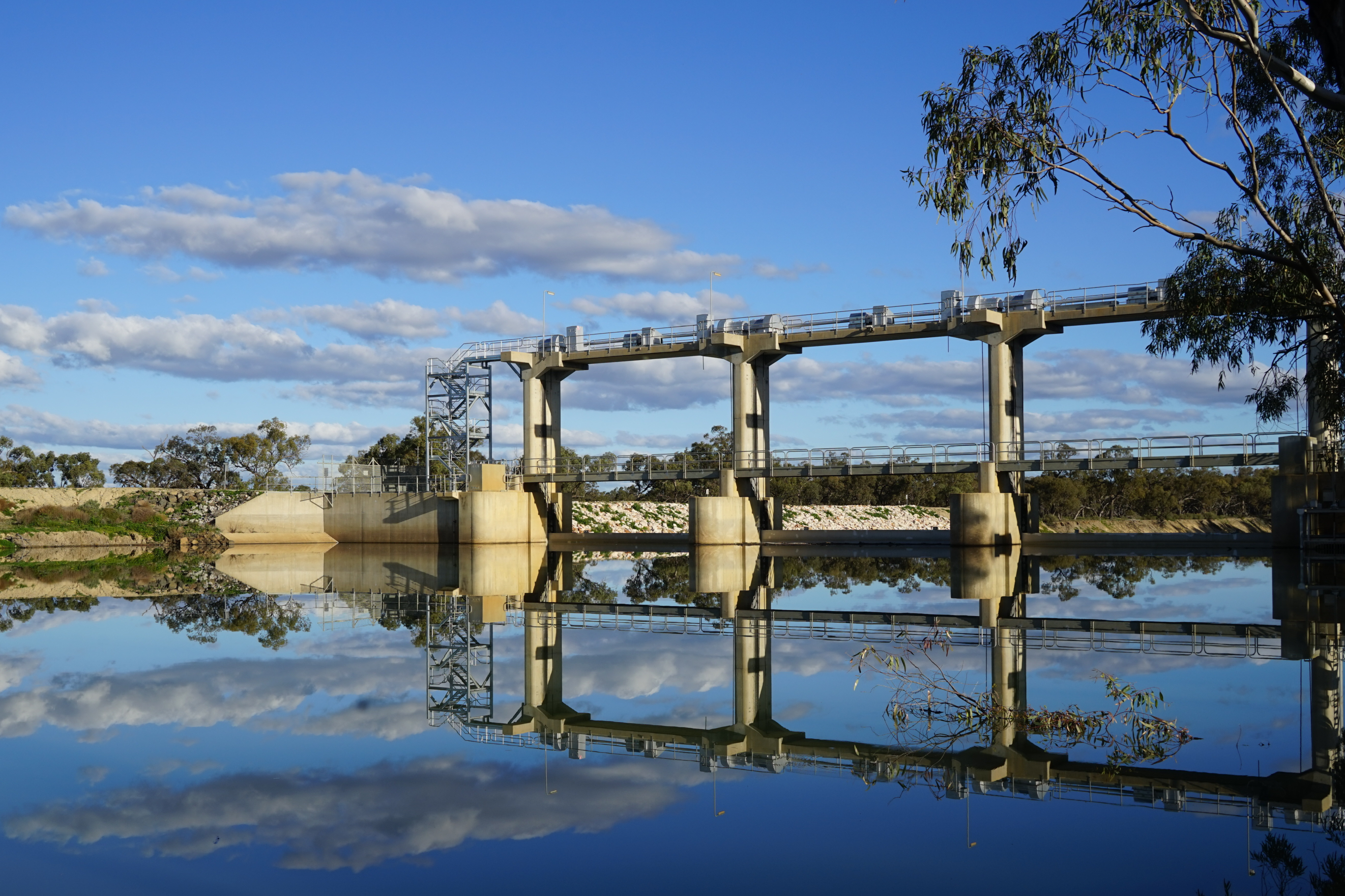
| |
| Current & 2024 tab: Nick Ryan/EPA (2020). Lismore waste sorting facility post floods. Bundjalung. Access from EPA Image Library. 2021 tab: Evolving Images/EPA (2013). Man working at MRF: Materials Recycling Facility. Bundjalung. Accessed from EPA Image Library. 2018 tab: Bottlebrush Media/EPA (2017). Close up of contaminated soil being sampled. Accessed from EPA Image Library. | 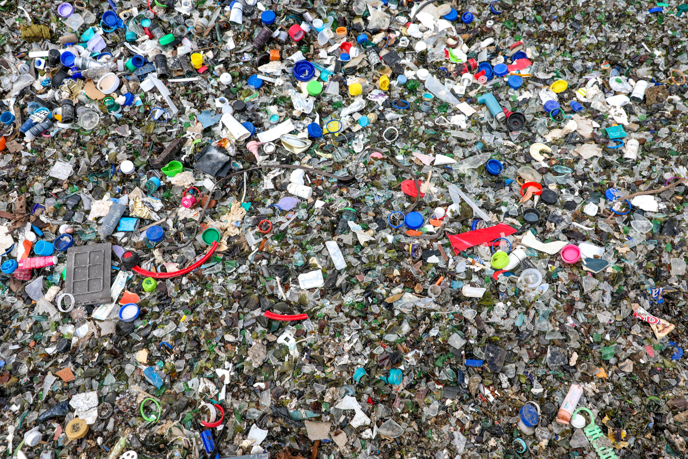
| |
| Current & 2024 tabs: Bottlebrush Media/EPA (2017). Close up of contaminated soil being sampled. Dharug. Accessed from EPA Image Library. 2021 tab: Sarah Ryan/EPA (2017). Treated effluent liquid moving through stages at a water recycling plant. Accessed from EPA Image Library. 2018 tab: EPA (2015). Gaswork remediation site. Accessed from EPA Image Library. | 
| |
| Current & 2024: John Spencer/EPA (2017). Aerial view of a residential area in Sydney. Dharug. Accessed from EPA Image Library. 2021 tab: Roger Laird/DPI (2012). Oblique aerial photograph showing Sydney's Bondi Beach, residential and high-rise development. DPI staff contribution. 2018 tab: John Spencer/EPA (2017). Aerial view of a residential area in Newcastle. Accessed from EPA Image Library. | 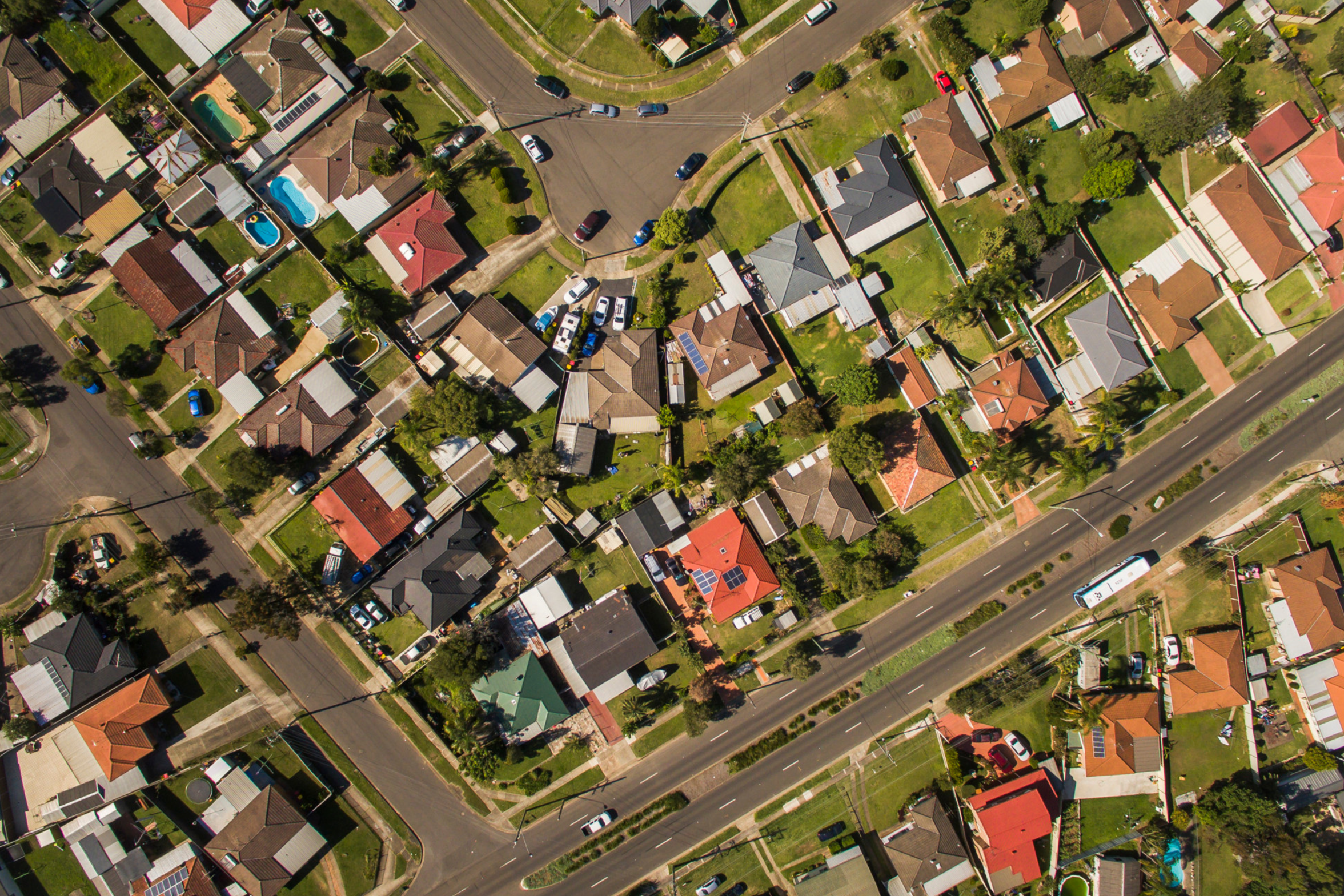
| |
| Current & 2021 tabs: Stephen Ward/DPI (2020). New road bridge over the Clarence River. Harwood. Bundjalung and Gumbaynggirr. DPIE staff contribution. 2018 tab: Sarah Ryan/EPA (2017). Waterfront in Wollongong showing recreational activity and tourist development. Accessed from EPA Image Library. | 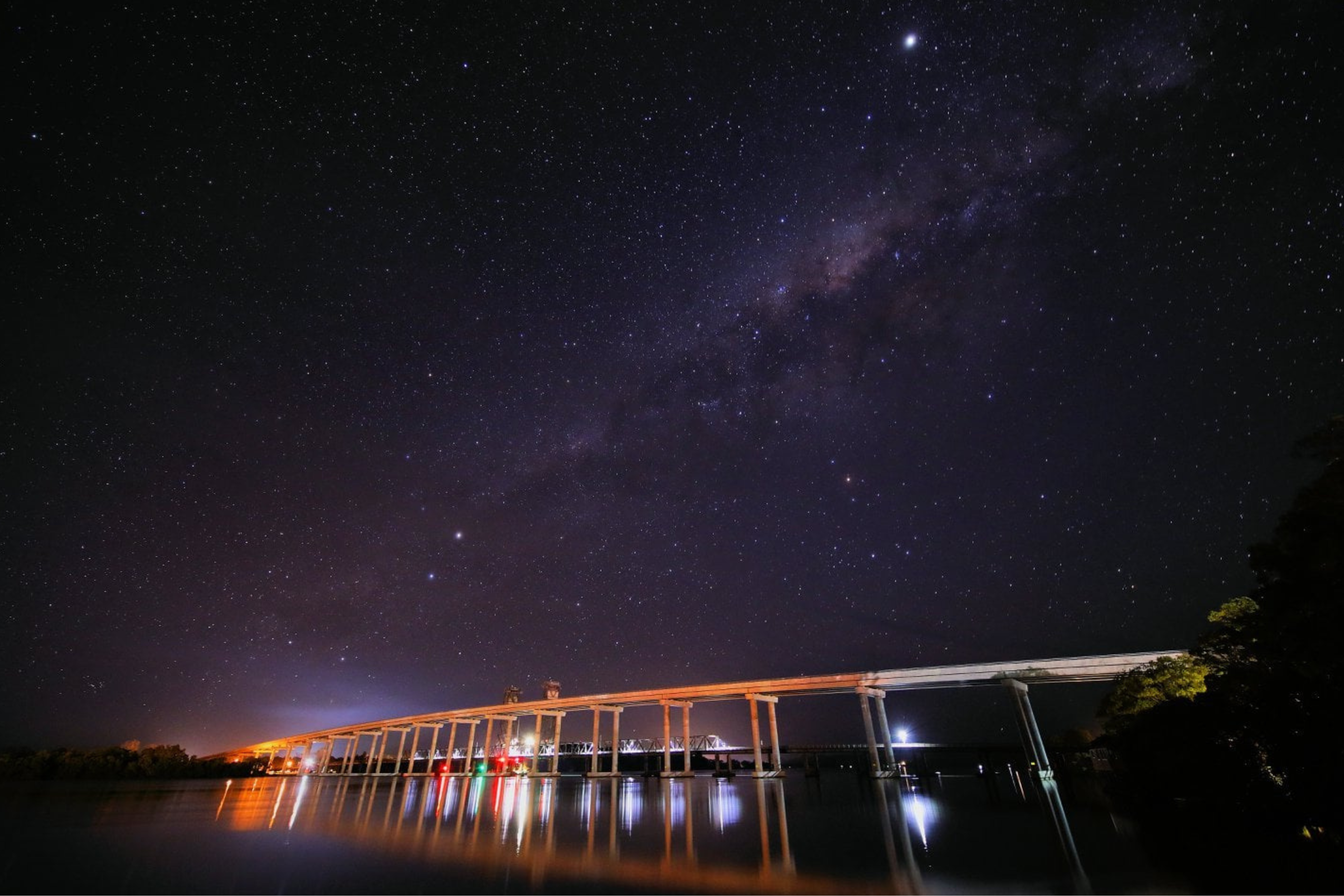
|
Notes:
The EPA is on a journey to inclusiveness of Aboriginal people and cultures, and notes the names of traditional Country may be contestable. These names demonstrate the EPA’s commitment, but should not be regarded as fact.
Previous topics
In 2024, some topics were merged and no longer follow the same structure. The closest matched topic retains its link to the current tab. Please see credits for past banners below.
Invasive species
2021 tab: Brian Rosenberg/DPIE (2021). Senicio weeds near Millthorpe. DPIE staff contribution.
2018 tab: John Yurasek/OEH (2012). Lantana. Timber detail of buildings, part of the Arndell family homestead built in 1821, Cattai National Park. Accessed from OEH Image Library.
Native fauna
2021 tab: Brian Rosenberg/DPIE (2020). Crimson rosella (Platycercus elegans) near Cowrigga, NSW. DPIE staff contribution.
2018 tab: John Yurasek/OEH (2012). Goanna in Bouddi National Park. Accessed from OEH Image Library.
Native vegetation
2021 tab: Greg West/DPI (2019). Rainforest floor view within Barrington Tops National Park. DPI staff contribution.
2018 tab: Brent Mail Photography/EPA (2017). Straight red gums captured with forest floor in background. Accessed from EPA Image Library.
River health
2021 tab: Martin Asmus/DPI (2020). Drowned trees in Hay Weirpool, Murrumbidgee River. DPIE staff contribution.
2018 tab: Gavin Hansford/OEH (2013). Kayakers on the Murrumbidgee River. Accessed from OEH Image Library.
Threatened species
2021 tab: Jennifer O'Meara/Sydney Olympic Park (2020). Juvenile endangered Green and Golden Bell Frog observed in the Brickpit - part of extensive threatened species habitat managed by the Sydney Olympic Park Authority in a long-term commitment to bell frog conservation. DPIE staff contribution.
2018 tab: John Spencer/OEH (2014). A pair of Glossy black-cockatoos (Calyptorhynchus lathami) sit on a tree branch at Captain Cook's Lookout in Hat Head National Park. Accessed from OEH Image Library.
Wetlands
2021 tab: Jo Erskine/NPWS (2020). Aerial photo over Tomago Wetlands. DPIE staff contribution.
2018 tab: John Spencer/OEH (2012). Seaham Swamp Nature Reserve. Accessed from OEH Image Library.